Wondering how to start bike touring in the Cariboo? Pick one stretch of the old Gold Rush Trail, ride it in short days, and plan food and water around the towns. The sections below show you how.
This guide sits under our wider look at Cariboo mountain biking, and it covers the touring side: long days on pavement and gravel, with a loaded bike.
| Item | Value |
|---|---|
| Gold Rush Trail starting marker | Mile 0 at Lillooet |
| One touring day on the Cariboo Highway | 75 km, Lillooet to Hat Creek Ranch |
| Gold Rush Trail leg that runs to Barkerville | Leg 7, starting at 150 Mile House |
| Gold-rush roadhouse on the Quesnel to Barkerville road | Cottonwood House Historic Site, Highway 26 |
| Paddling and camping area near Wells | Bowron Lake chain |
Figures come from a HuffPost account of cycling the trail and the Gold Rush Trail leg guide. They can change, so check the source before you rely on them.
Why the Gold Rush Trail suits a bike tour
The Cariboo Highway follows the route of the old gold rush trail, so the towns sit in a logical line. That makes it easy to split a trip into days that end at a bed, a campsite or a café.
One rider’s account describes Lillooet as the “Mile 0” point of the Cariboo Highway, then a long day of riding north. The same account mentions a wide shoulder beside irrigated fields, which is the kind of detail worth looking for when you choose roads.
This site is independent and educational. It does not run tours or offer guiding, so treat everything here as background for your own planning.
- Towns give you regular chances to resupply.
- History stops such as roadhouses break up the riding.
- Side roads and trails let you swap pavement for gravel when you want to.
Choosing a route for bike touring in the Cariboo
Most riders pick a section rather than the whole corridor. The Gold Rush Trail is divided into legs, and the one that runs through Williams Lake and Quesnel to Barkerville is Leg 7, which starts at 150 Mile House.
At that start, the leg guide says “travellers generally decide whether to continue north to Williams Lake” or head northeast toward the resort lakes. Cyclists face the same choice, and the route you pick changes your traffic, your services and how much gravel you ride.
A simple way to build the plan
- Choose your start and end towns on a map.
- Mark every place you can buy food and refill water.
- Split the distance into days you can ride comfortably with a loaded bike.
- Book or scout a bed or campsite for each night.
- Keep a spare day for weather, smoke or road closures.
Day lengths and pacing
A loaded bike is slower than a day bike, and the Cariboo is rolling plateau country with long grades and few trees for shade. The account of the Lillooet start describes a 75 km day from Lillooet to Hat Creek Ranch that took most of the day, after a climb over Cayoosh Pass the day before.
Use that as a reality check rather than a target. Pick distances that leave you time to eat, rest and arrive before dark, especially if you are new to touring.
Shorter days also leave energy for the sights. Barkerville, Wells and the Bowron Lake chain reward riders who arrive with time to look around.
Roads, gravel and trails
Highways give the simplest riding, but traffic and shoulder width vary by section. Look at current road conditions before you leave.
The leg between Quesnel and Barkerville uses Highway 26, where Cottonwood House Historic Site is described as one of the last few remaining Cariboo gold rush era roadhouses. It makes a natural rest stop on that road.
If you also want singletrack, the region is a mountain biking destination in its own right. Our overview of mountain bike trails British Columbia helps you see where Cariboo riding fits in the province.
- Pavement: fastest, with services in towns.
- Gravel backroads: quieter, but slower and with fewer services.
- Trails: check land manager rules before you ride, since bike access differs by park and trail.
Timing, weather and wildfire
Summer gives the longest days, but heat, smoke and wildfire can change a plan quickly. The best time to mountain bike in the Cariboo also shapes the best time to tour, so read it before you pick dates.
Check provincial wildfire and road-closure updates in the days before you leave and again each morning. Build flexibility into your itinerary so a closure means a rest day, not a crisis.
Food, water and places to sleep
Services thin out between communities, so treat every town as a resupply point. Buy more food than you expect to eat, and fill every bottle before you leave, even if the next stretch looks short on the map.
For sleeping, you can mix motels, guest ranches, campgrounds and recreation sites. Hours, prices and availability change from season to season, so contact each place directly and confirm before you count on it.
Wells and the Bowron Lake chain suit riders who want a rest day, and the leg guide describes the lakes as a place to kayak, canoe and camp. If you add paddling, check the rules and any reservation needs with the managing agency first.
Small habits that make long days easier
- Start early, before the heat and the heaviest traffic.
- Eat and drink on a schedule, not when you feel empty.
- Stop at shade when you find it, because the plateau offers little.
- Tell someone your plan and your expected arrival.
What to pack
Pack for long gaps between services and for temperature swings between day and night. Carry more water than you think you need on dry stretches.
- Spare tubes, a pump, a multitool and a chain link.
- Layers and rain gear.
- Sun protection and a hat.
- Food for a full day beyond your planned stop.
- Bear spray and proper food storage if you camp.
- Offline maps, because mobile coverage can drop out between towns.
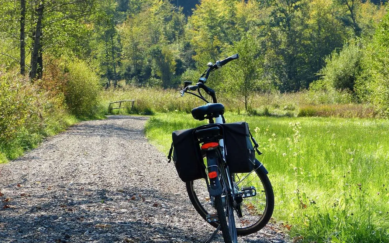
Test your loaded bike on a short overnight ride at home first. Fixing a rattling rack or a sore saddle there costs you far less than fixing it on a remote stretch of highway.
Lights help when a day runs long, and bright clothing helps drivers see you on highway sections.
Frequently asked questions
Where does the Gold Rush Trail start?
Show answer
The HuffPost account describes a plaque in Lillooet marking it as the Mile 0 point of the Cariboo Highway, which follows the old gold rush trail.
Can I tour the Cariboo on a mountain bike?
Show answer
Yes. A mountain bike handles gravel backroads well, though it can be slower on long highway sections. Check land manager rules for any trail you want to add.
Is there a ready-made route to follow?
Show answer
The Gold Rush Trail legs give a framework, and Leg 7 covers Williams Lake, Quesnel and Barkerville. Confirm the road you want to ride and its conditions before you commit.
Do I need to book anywhere?
Show answer
Plan beds or campsites ahead for popular summer weekends, and contact the operator directly. This site cannot take bookings or enquiries.