Planning Wells BC mountain biking and not sure what to expect? You’ll find gold rush history, shared multi-use trails and very few other riders, so go in ready to scout.
This guide is part of our look at Cariboo mountain biking, and it covers the Wells and Barkerville corner of the region.
| Item | Value |
|---|---|
| Who shares the Wells-Barkerville trails | Hikers, skiers, mountain bikers, snowmobiles and horseback riders |
| Yellowhawk Trail round trip (hiking description) | 8.4 km |
| Yellowhawk climb to Mount Greenberry | 604 m |
| Local group Wells belongs to | Cariboo Mountain Bike Consortium |
| Historic riding theme | Trails used by early prospectors in the Gold Rush |
Figures come from Quesnel Tourism’s Wells-Barkerville Trails page and EH Canada Travel’s Yellowhawk Trail listing. Trail details can change, so check the source before you rely on them.
What is Wells BC mountain biking like?
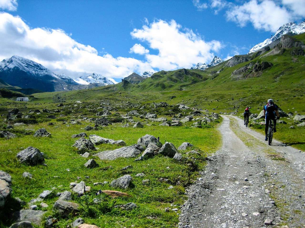
The area around Wells and Barkerville is a multi-use trail network. Quesnel Tourism says the trails range in difficulty and elevation, with some giving access to peaks and sweeping views and others looping around in the valleys.
That mix matters for planning. You can pick a valley loop for an easy afternoon, or a climb for a big day with views.
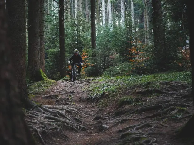
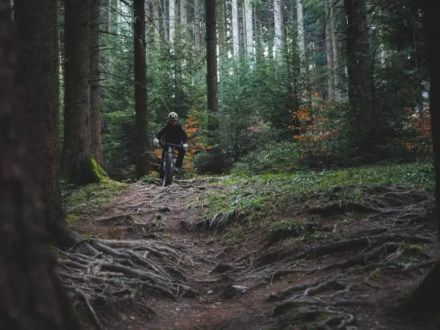
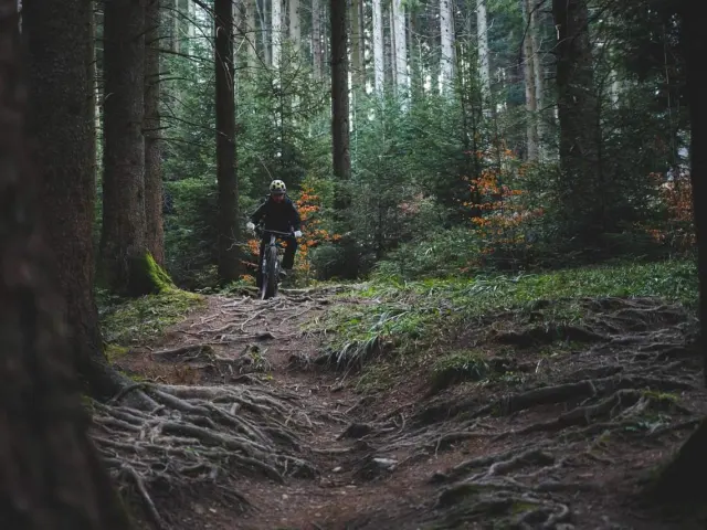
Mountain Biking BC’s Cariboo South Chilcotin road-trip itinerary begins its Wells and Barkerville stop with the idea of riding the historic trails used by early prospectors during the Gold Rush. That framing fits the place: you are riding through a mining landscape, not a purpose-built bike park.
Expect these trail types:
- Old mining and ditch routes with steady grades.
- Valley loops close to town.
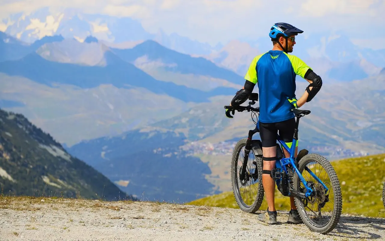
- Alpine climbs that open into wide views.
- Newer descents built for bikes, which a Mountain Biking BC writer noted above Barkerville.
Sharing trails with everyone else
Quesnel Tourism notes that the trails are open to hikers, skiers, mountain bikers, snowmobiles and horseback riders. You are a guest on a shared network, so ride accordingly.
- Slow down and call out before blind corners.
- Give horses plenty of room and speak calmly as you approach.
- Yield to hikers on narrow tread.
- Stay off soft ground after heavy rain.
Each of those habits keeps the network friendly to bikes. Local volunteers and clubs look after much of it, so treat it well.
Yellowhawk: a useful benchmark climb
Yellowhawk is one of the better-documented routes near Wells, though its public listing describes it as a hike. EH Canada Travel calls it a moderately easy trek through forest to alpine peaks, with a round trip of 8.4 km.
The same listing says the route climbs 604 metres to the peak of Mount Greenberry and then on to Murray Ridge on Mount Murray. It also mentions cabin remains and viewpoints over Bowron Lake Park and the Heritage Highway.
Treat those numbers as a guide to effort, not a ride description. Confirm that bikes are allowed and what the current conditions are before you commit, because the source is a hiking listing.
Who is out there, and what that means for you
A Mountain Biking BC trip report from the Wells area says mountain bikers are few and far between there, but visits are on the rise to experience the historic gold rush trails and the new descents built just for bikes. That is the report’s own wording, and it dates from one visit.
Fewer riders means a quieter experience. It also means less help if something goes wrong, so carry what you need.
Planning a Wells and Barkerville day
Wells is a small town, and the same trip report describes starting the day with breakfast at the Bear Paw Cafe before heading to nearby Barkerville. The Mountain Biking BC itinerary also names the Bears Paw Café in Wells and the Lung Duck Tong in Barkerville for food.
Here is a simple way to build your day:
- Pick your route from a current trail map and check whether bikes are allowed.
- Check recent trail conditions before you leave town.
- Pack water, food, a spare tube, tools and layers for mountain weather.
- Tell someone your route and when you will be back.
- Leave time for Barkerville Historic Town afterwards.
If you are linking Wells with a wider trip, our guide to Quesnel mountain bike trails covers the next stop down the road. Seasons also matter at altitude, so read the best time to mountain bike in the Cariboo before you pick dates.
Packing and safety in mountain country
Wells sits in the Cariboo Mountains, where weather can shift between the valley and the alpine. Pack for the highest point of your ride, not for the town you start in.
A sensible kit for a backcountry-style day includes:
- A rain shell and a warm layer, even on a sunny morning.
- Plenty of water and snacks, since services are limited on the trail.
- A spare tube, pump, multi-tool and chain link.
- A basic first-aid kit and a way to navigate offline.
- A helmet, gloves and eye protection for rooty or rocky tread.
Cell coverage can be patchy in remote areas, so download your map before you leave town. Riding with a partner is wiser than riding alone, especially on longer alpine routes.
Wildlife is part of the Cariboo experience. Make some noise on blind corners, keep dogs under control, and give any animal you meet plenty of space.
How to research a route before you go
Because published detail on individual Wells trails is patchy, build your plan from several places. Start with the trail pages run by local tourism groups, then look for rider-submitted conditions on trail apps and for recent trip reports.
Check three things for every route: whether bikes are allowed, how much climbing is involved, and whether recent weather has left the tread soft or blocked. Treat any single listing as a starting point, because trail lengths and descriptions often differ between websites.
Finally, ask locally. Staff at cafés, visitor centres and bike shops in nearby towns usually know which trails are in good shape this week.
Where the Wells network fits in the Cariboo
A SnowSeekers destination page says Wells is part of the Cariboo Mountain Bike Consortium, and that Wells is keen to show you some of the great rides of the Cariboo. It suits riders who like history and quiet trails more than lift-served laps.
Use Wells as one stop on a longer route rather than a single-destination trip. The mining history and the town’s character are part of the appeal.
This site is independent and has no connection to any trail group, town or business mentioned. Always confirm access, rules and conditions with the people who manage the trails.
Frequently asked questions
Is Wells good for mountain biking?
Show answer
It suits riders who want historic trails, mountain scenery and quiet routes. A Mountain Biking BC trip report notes that riders are still few there, and describes new descents built for bikes.
Can I ride the Wells-Barkerville trails year-round?
Show answer
Quesnel Tourism says the trails offer different advantages in every season and are used by skiers and snowmobilers too. For biking, check recent conditions before you go.
Is Yellowhawk Trail a bike route?
Show answer
The public listing describes it as a hike of 8.4 km round trip. Confirm bike access with the trail managers before you ride it.
Do I need a guide?
Show answer
The sources behind this page do not say one is required. A current map and a conditions check are the practical minimum, and this site cannot arrange guiding.